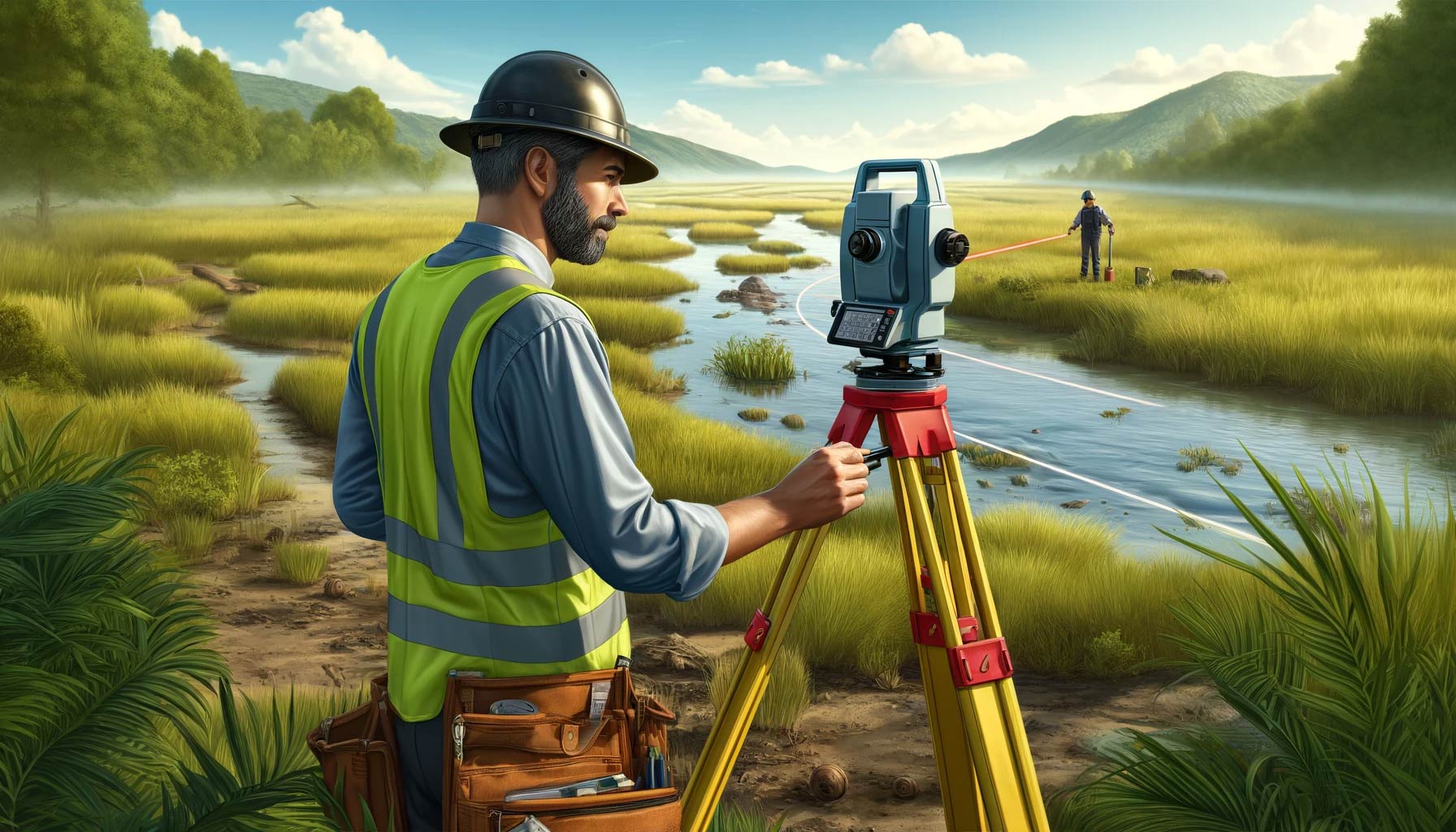
In environmental restoration projects such as stream, coastal, and wetland restoration, precise surveying is fundamental. Accurate mapping of biological features and benchmarks is crucial, and selecting the right surveying tools can greatly influence the project’s success.

Essential Surveying Tools
1. Dumpy Level
Traditional yet precise, the Dumpy level is excellent for small, detailed survey areas, measuring distances up to about 30 feet but requiring manual operation by two people.
2. Laser Levels
Modern laser levels, such as the Leica Rugby or Spectra Precision series, enhance measurement processes significantly. These devices extend measurement capabilities to the limits of visible distance and usually require just one operator, thereby increasing efficiency and reducing labor.
3. Surveyor’s Total Station
For highly detailed projects, the Trimble S Series Total Station combines electronic distance measurement with precise angular measurements, though it may provide more detail than necessary for basic biological assessments.
4. GPS Systems
While excellent for horizontal coordinates (x and y), GPS systems often fall short in accurately measuring elevation (z), with potential errors of several meters.
Detailed Procedure for Using Laser Levels
Setup and Calibration
- Choosing the Right Equipment: Invest in a high-quality laser level and a robust carrying case to protect the device in the field. Set up the level on a survey-grade tripod, which is typically sturdier and equipped with features like adjustable legs and steel spikes for stability.
- Finding the Optimal Location: Walk the site to select the best location for setting up the laser level. This spot should offer a clear line of sight to all points of interest and be positioned such that it minimizes the need to move the equipment frequently.
Example of Using a Laser Level in a Wetland Restoration Project
- Initial Setup: Place the laser level on the tripod ensuring it is well above the highest ground point to be surveyed. Attach the laser receiver to a survey rod, securing it at a height where it will detect the laser from the level.
- Leveling the Instrument: Use the built-in bubble level on the laser level to adjust the tripod legs until the mounting plate is level. Once the device is mounted, fine-tune its position using the leveling screws until the level is perfectly horizontal in all directions.
- Taking Measurements:
- Begin by setting a local benchmark with a known or assumed elevation, for instance, 100 feet.
- Position the rod at this benchmark and activate the laser level. Adjust the rod height until the laser receiver indicates a perfect alignment with the laser beam.
- Record the rod reading; let’s say it reads 4.50 feet. This means the height of instrument (HI) is 104.50 feet.
- Move to the next point of interest, place the rod directly on the ground, and adjust its height until you hear the steady tone of the laser receiver again. Assume this reading is 3.70 feet.
- Calculate the elevation of this new point by subtracting the rod reading from the HI: 104.50 – 3.70 = 100.80 feet.
- Continuing the Survey: Repeat the measurement process for each point in the survey area. Always ensure the rod is perfectly vertical and the numbers are read correctly to avoid errors.
Recording and Analyzing Data
- Documenting Measurements: Use a survey notebook to record all measurements systematically. Note each feature’s location, the rod reading, and the calculated elevation.
Example Survey Notes Table
| Point ID | Location | Rod Reading (feet) | Height of Instrument (HI) | Calculated Elevation (feet) | Additional Notes |
|---|---|---|---|---|---|
| 1 | Benchmark (BM) | 4.50 | 104.50 | 100.00 | Initial benchmark for the site |
| 2 | Northern Wetland | 3.70 | 104.50 | 100.80 | Wetland edge |
| 3 | Stream Entry | 2.85 | 104.50 | 101.65 | Entry point of stream |
| 4 | Southern Ridge | 5.10 | 104.50 | 99.40 | Highest elevation point |
| 5 | Central Meadow | 4.00 | 104.50 | 100.50 | Low-lying grassy area |
- Analysis and Reporting: Once all data are collected, analyze the measurements to assess the topography and prepare detailed reports or maps as needed. These documents will support decision-making for the restoration project’s design and implementation phases.
Legal and Compliance Considerations
For projects that require certified accuracy, such as legal boundary determinations or floodplain mappings, collaboration with a licensed land surveyor or professional engineer may be necessary to ensure compliance with regulations.
By understanding and applying these detailed surveying procedures using advanced laser levels, environmental restoration professionals can significantly enhance the accuracy and efficiency of their projects, ensuring successful outcomes.
