Product Description
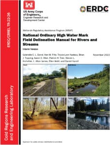
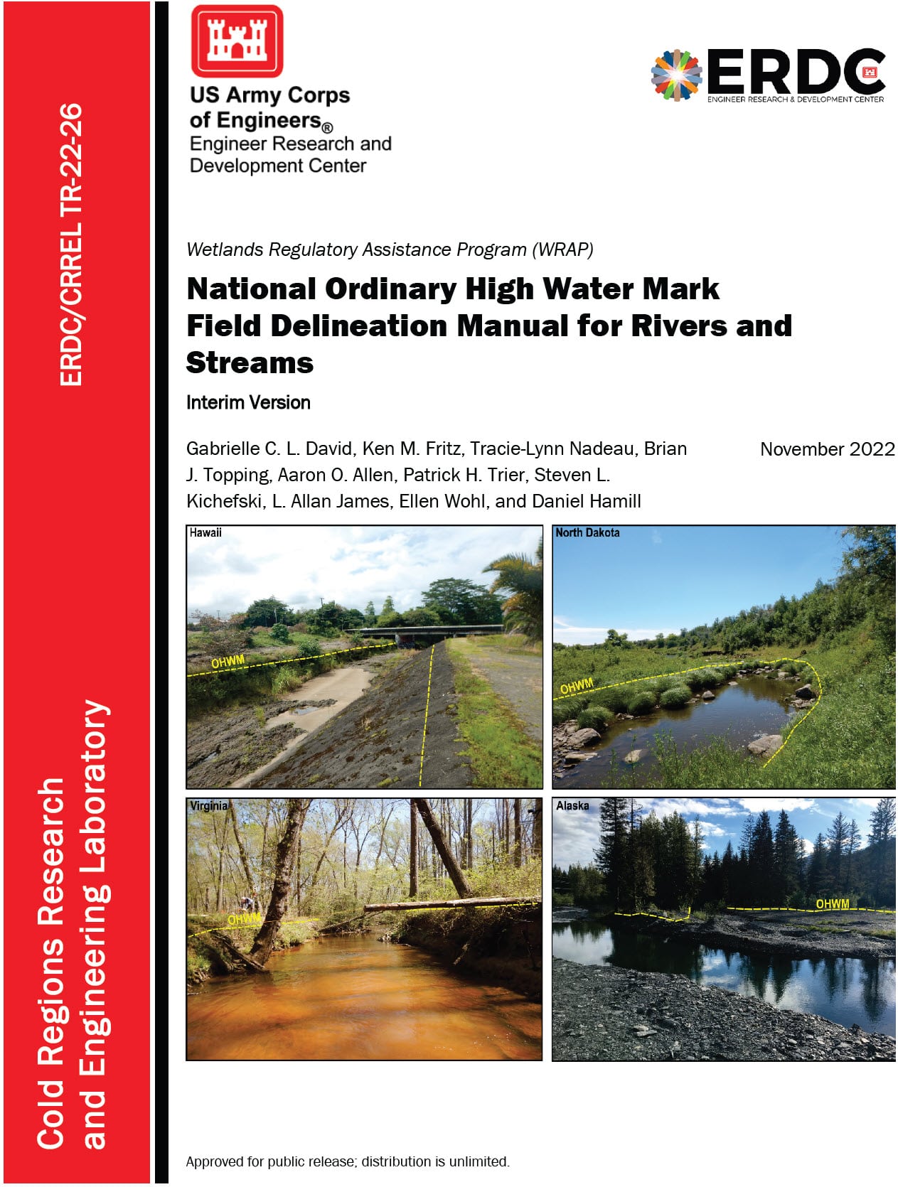
National Ordinary High Water Mark Field Delineation Manual for Rivers and Streams Interim Draft Version is out for use and public comment. The Interim Draft of the National OHWM Manual provides draft technical guidance for identifying aquatic resources that may be subject to regulatory jurisdiction under Section 404 of the Clean Water Act (CWA) and/or Sections 9 and 10 of the Rivers and Harbors Act of 1899 (RHA), by providing a standard process, uniform datasheets, and unified field procedures to identify and delineate the OHWM of rivers and streams located throughout the Nation. The Interim Draft of the National OHWM Manual was developed by the National Technical Committee for OHWM, which includes experts from Federal agencies and academia. The document provides a scientifically based, rapid framework to support OHWM identification and delineation in a consistent, robust, repeatable, and defensible way.
The OHWM defines the boundaries of aquatic features for a variety of federal, state, and local regulatory purposes. Under the CWA, the OHWM defines the lateral limits of federal jurisdiction for non-tidal waters of the U.S. in the absence of adjacent wetlands. When adjacent wetlands are present, CWA jurisdiction extends beyond the OHWM to the limit of the adjacent wetlands. Under Sections 9 and 10 of the RHA, the OHWM defines the lateral limits of federal jurisdiction for non-tidal navigable waters of the U.S. The National OHWM Manual will help to promote accurate, consistent, and efficient OHWM delineation practices. OHWM delineation can occasionally be challenging due to factors such as spatial and temporal dynamics of inland waters and anthropogenic impacts that can mask or confound field indicators. Use of the National OHWM Manual is intended to result in more timely, consistent, and predictable identification and delineation of the OHWM across the Nation.
The Swamp School has developed a comprehensive curriculum based on the OHWM and is pleased to offer this as part of our wetlands and waters program. We offer this class online and on demand. This class will include a significant amount of field practice working with local streams and rivers.

