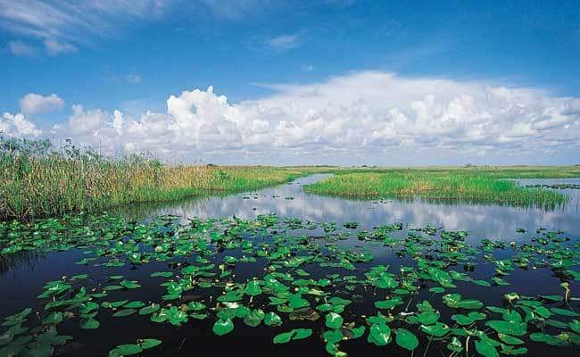
Wetland delineation establishes the existence, location, size and characteristics of a wetland for the purpose of adhering to federal, state and local regulations.
Wetland delineations are conducted by certified wetland delineators and their results are significant to land owners, developers, government agencies and environmental scientists.
Wetland delineation is also an element of a jurisdictional determination (JD), which determines whether a wetland may be regulated by the U.S. Army Corps of Engineers under Section 404 of the Clean Water Act.
Certified wetland delineators use an array of guides, forms and instruments to assess and document a site’s waters, soils and vegetation.
The final product of a wetland delineation is a detailed study and written report. This report includes the delineation methods, findings, photographs, results, soils, hydrology and vegetation data. It also includes climate conditions during the survey, and other relevant information which supports the delineator’s decision as to where the water body and upland boundary is.
Certified wetland delineators perform their delineations in accordance with the 1987 US Army Corps guidelines.